HAToM ECOSYSTEM IS A SET OF GEOSPATIAL DATA-DRIVEN TOOLSET BASED PRIMARILY ON EARTH OBSERVATION SATELLITE DATA.
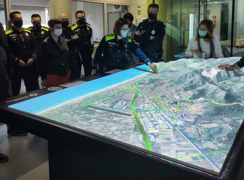
OUR MAIN PRODUCT IS THE HAToM DEEP-TECH 3D IMMERSIVE AND INTERACTIVE GEOSPATIAL DATA VISUALIZATION PLATFORM THAT OFFER A “BIRD’S EYE VIEW” OF GEOGRAPHICAL LOCATIONS THAT CHANGES THE WAY WE USE GEOSPATIAL DATA.
Deep-Tech Earth’s Digital Twins
HAToM Ecosystem -HAToM platform, Web app and Mobile apps- blends high-resolution Earth Observation and in general, geospatial data, with proprietary software and disruptive technologies: Space Technology, Artificial Intelligence, Big Data, Machine-Deep Learning, IoT, Computer Vision, Cloud & Edge Computing, Geospatial Intelligence, Holograms Extended/Mixed Reality, Holograms or Digital Fabrication.
An Earth Digital Twin that enhances any project related to geospatial data.
Simplify complex data and graphics
HAToM simplifies the management and understanding of complex georeferenced data with a unique software solution, which allows to make faster and more effective decisions. This revolutionary tool translates data in a universal language: the visual, facilitating the teamwork, with a more realistic and understandable data, especially when multidisciplinary teams needs to work together.
All-in-one platform
HAToM Ecosystem tools get, process and blend static with dynamic data in real time from multiple sources: proprietary data, sensorization devices, external platforms, etc., and the most useful, users can visualize multiple layers simultaneously.
Monitoring and planning tool
An effective and useful platform for monitoring and surveillance, simulations, planning and as prevention tool, for urban planning, mobility, citizen safety, security forces and rescue teams, natural resources management, natural disaster risk monitoring, extreme sports, smart tourism, etc.
SOLUTIONS FOR
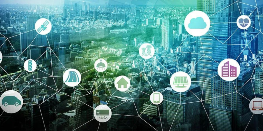

Smart cities / Smart regions
Natural resources management
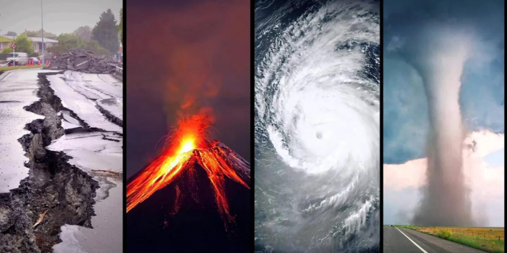
Natural disaster risk reduction
Security and rescue corps

Exhibitions & Museums
Tourism & Leisure
HAToM MODULES
To enhance the platform, and in general, the HAToM Ecosystem, we offer different optional modules.
Real time Data
Combine dynamic data to get valuable information on what is going on: vehicles traffic, airplanes, vessels, public transportation; weather stations or any other data from external platforms.
AI / Big Data Analytics
HAToM Ecosystem uses Artificial Intelligence or Machine-Depp Learning tools to optimize the efficiency of your geospatial data, to offer the best results for analysis or simulations.
IoT devices
Connect any kind of Internet of Things sensor to the HAToM Ecosystem to monitoring situations 24/7. We can use Edge or Cloud Computing, depending on the user’s needs.
GNSS Geolocalization
Visualize high accuracy tracking data of any GNSS beaconing device on the HAToM Ecosystem elements, as public safety vehicles, cleaning supplies, delivery, etc.
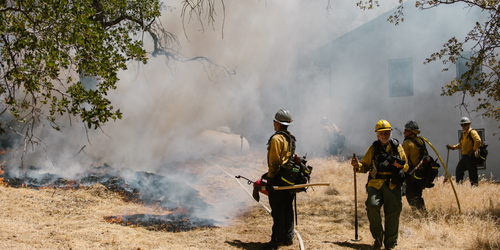
UAV / Drones
Connect the video streaming or sensors onboard your drone to receive data and position, in the HAToM Ecosystem, in real time. A useful tool for monitoring natural disasters like wildfires, floods or monitoring outdoors sports or mass events.
Video streaming
Connect your security, traffic cameras or optic sensors to HAToM Ecosystem elements and visualize real time streaming with just one click.
Indoors Viewing & 360º views
Include 360º images or videos of indoors or outdoors in your projects. HAToM tools go a step further by combining BIM and Inmotic tools and allow, from the same application, to visualize interiors and get information in real time or activate or deactivate control systems.
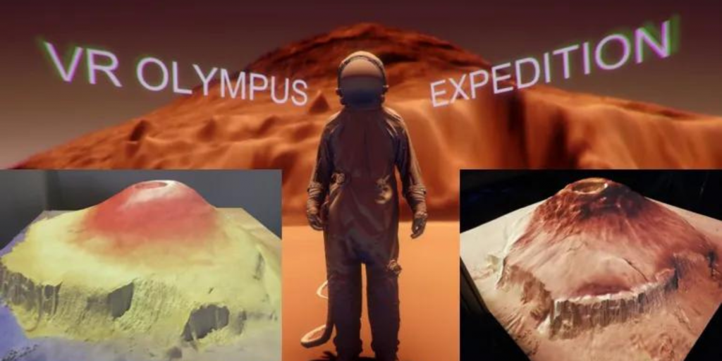
Mixed / Extended Reality
A useful smart tool specially designed for security and rescue corps or field technicians, to work with a high degree of realism and accuracy. Get also greater immersivity for other applications like Smart Tourism or Exhibitions.
Consult if you need a specific module, the HAToM Ecosystem is very scalable technologically, as well as transversal in its applications. Our R&D team will be happy to evaluate your needs.